[SIZE="3"]Day 4 - Lewiston, ID to Grangeville, ID (225 miles)[/SIZE]

There's a great, windy road, called the Old Spiral Highway, that comes out of North Lewiston and ties back in to US 95 at the top of the hill overlooking the whole area. Missed the damn turn off for it, ended up at the viewpoint on top. Next time.
Old Spiral Highway. Lewiston, ID on left, Clarkston, WA on right - split by Snake River. Clearwater River flows past Lewiston and meets the Snake here, the Snake flows off to the right and to the Columbia River.


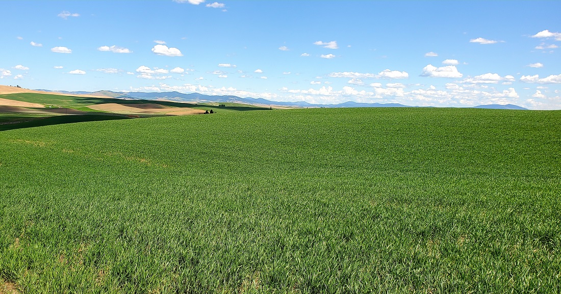
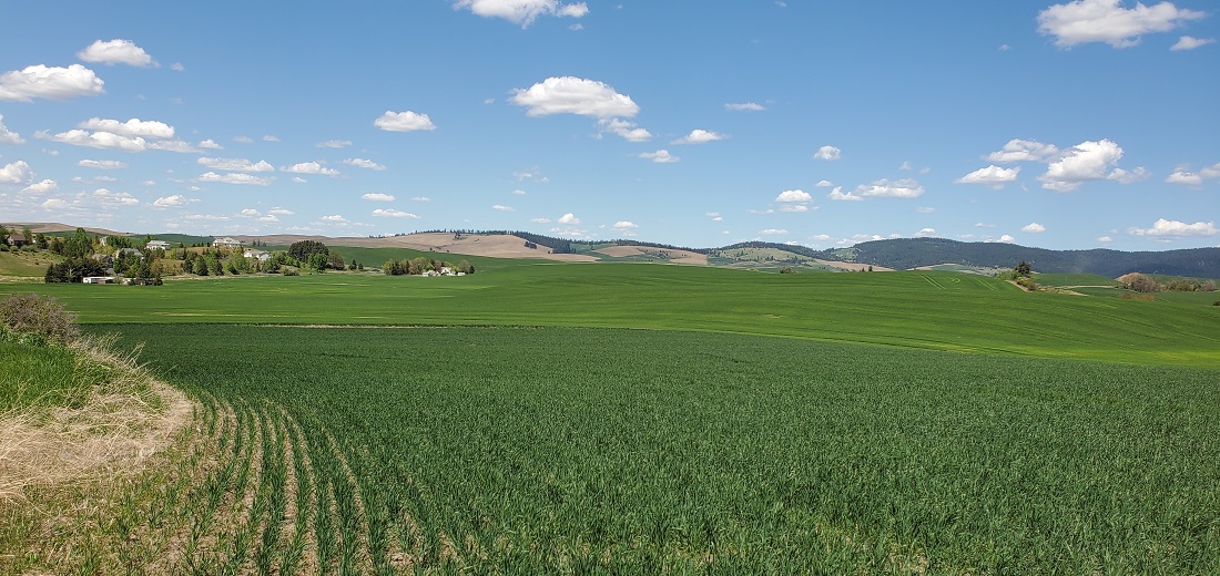
One of my main reasons to go this time of year is that the Palouse area of SE Washington is also wheat county. Although it covers about 19,000 square miles and is situated over parts of WA, ID and OR, the Washington part seems particularly scenic. Nothing but gently rolling hills covered in wheat as far as the eye can see. Really something.
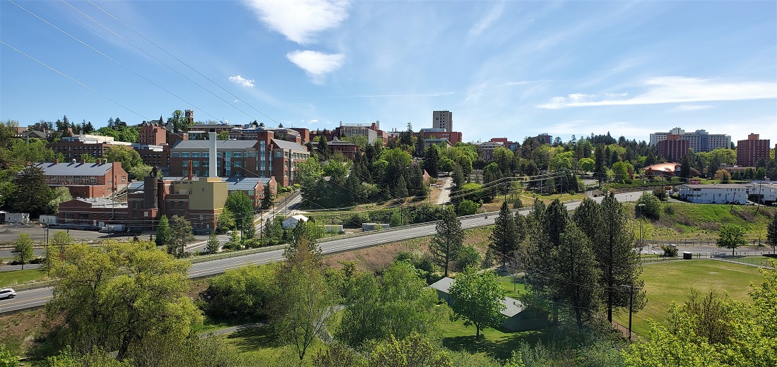
Washington State University is in Pullman, WA. Very hilly and beautiful campus. I had come here for a track meet between WSU and the University of Oregon many years ago and wanted to see the wheat again.
A garden nearby was just getting ready to blossom

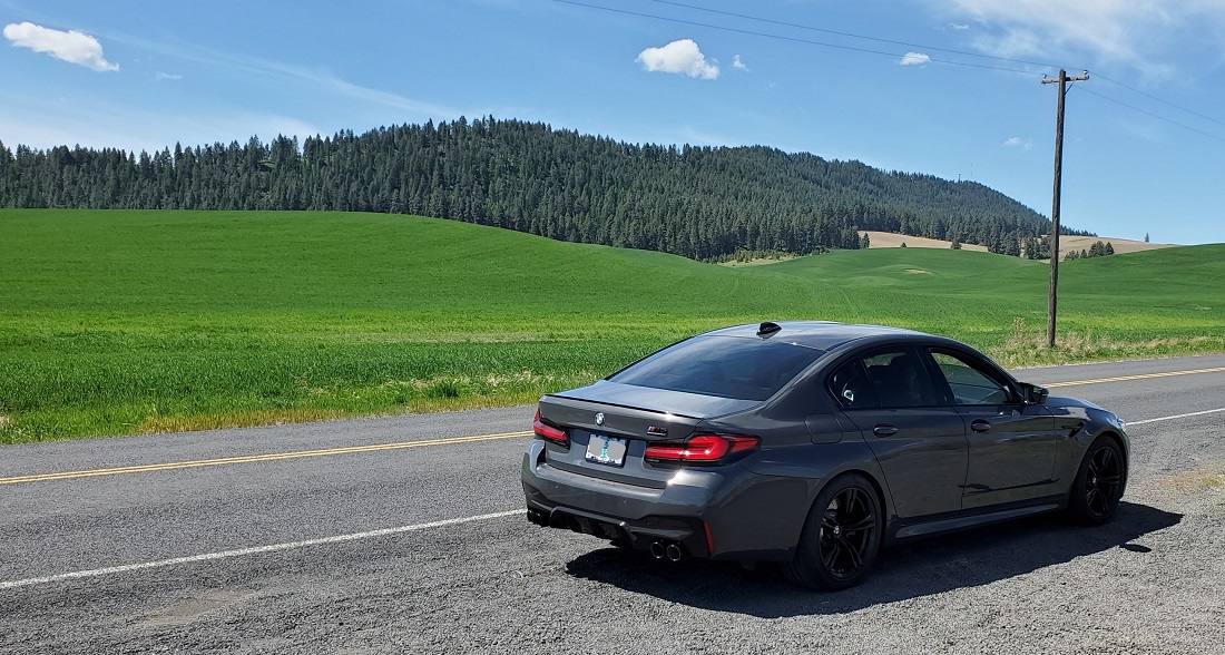
The Palouse really showed itself out of Pullman on Hwy 27. About half the fields are planted in a given year.


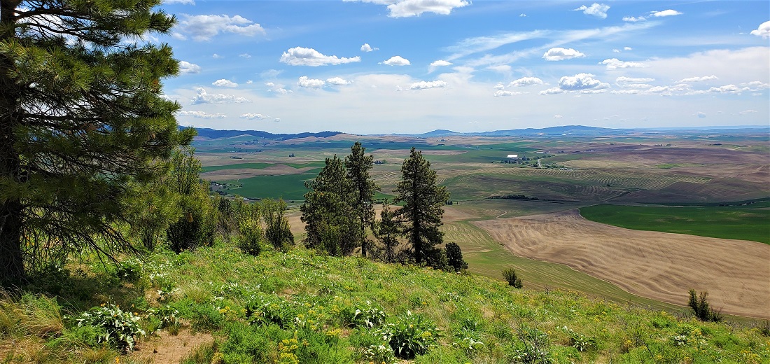
On to Palouse, WA for lunch. Along the way we detoured to Kamiak Butte County Park. A short hike of 400 vertical feet took us to a viewpoint overlooking the whole area. Quite colorful and expansive.
Same road, different sides:
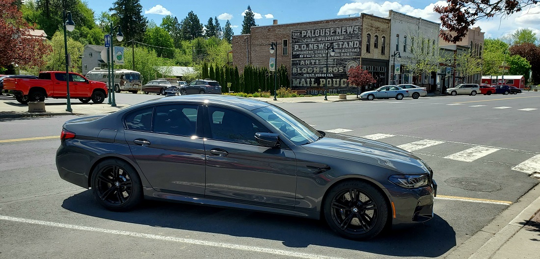
Palouse, WA is a nice little hamlet with a spunky little downtown. Even found a great place for briskett.

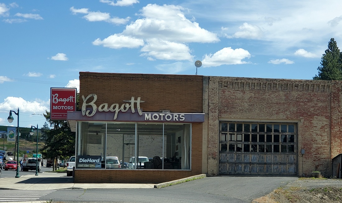
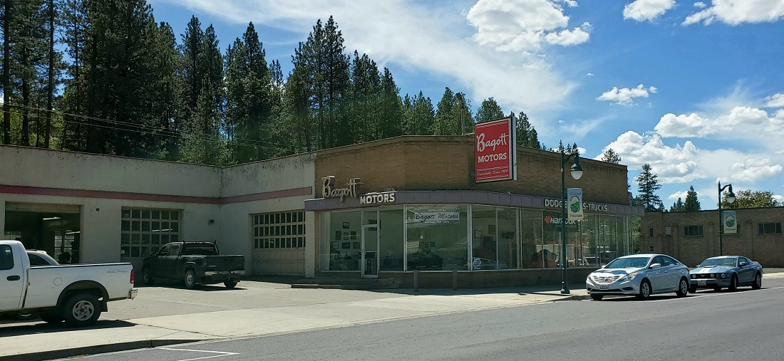
Vintage Car Dealership
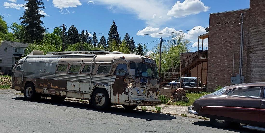
The destination sign on the bus says "Happy Hour"
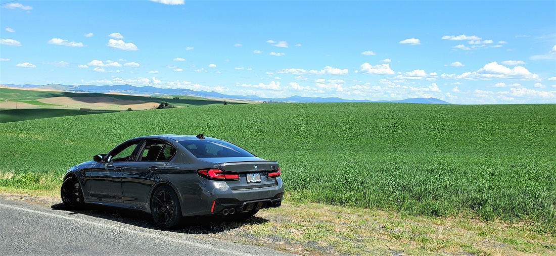
More lovely Palouse out of Palouse on the way to Moscow, ID

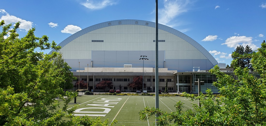
Dropped down to Moscow, ID - home of the University of Idaho. It's only 9 miles from Washington State. Back in the '70s, Idaho lowered the drinking age to 19, while Washington remained at 21. Moscow became very popular with the students from WSU.
They play football in the Kibbe Dome
Left Moscow on Hwy 8, passed thru Troy and turned south on Hwy 99
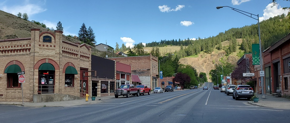
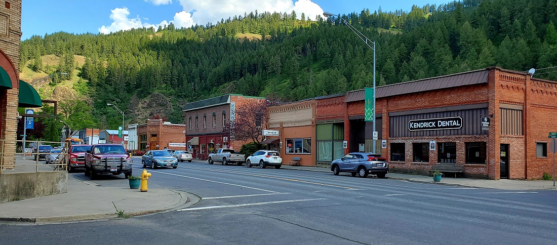
Next little town was Kendrick - population about 300. Quaint little Main Street.

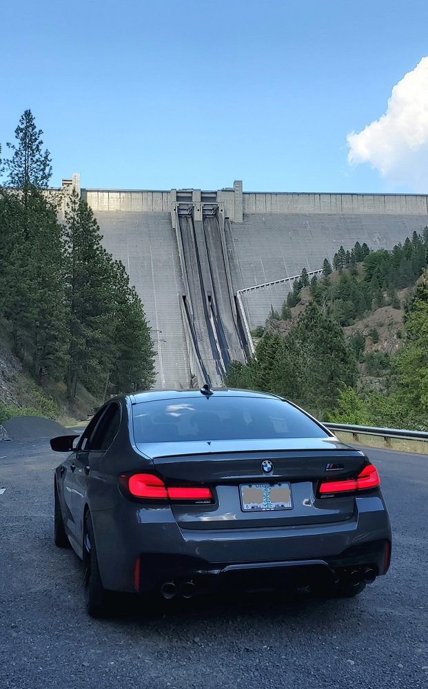
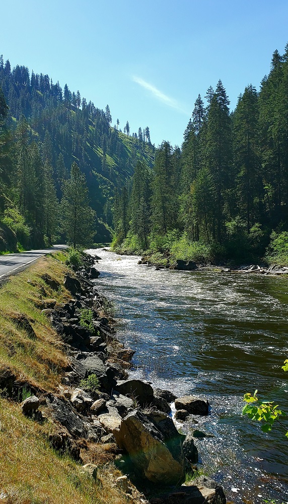
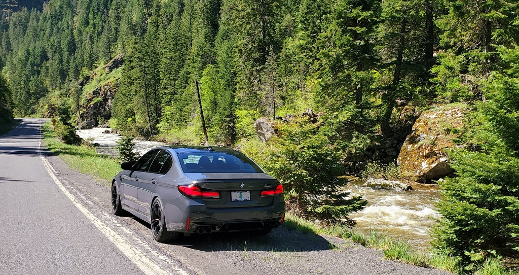
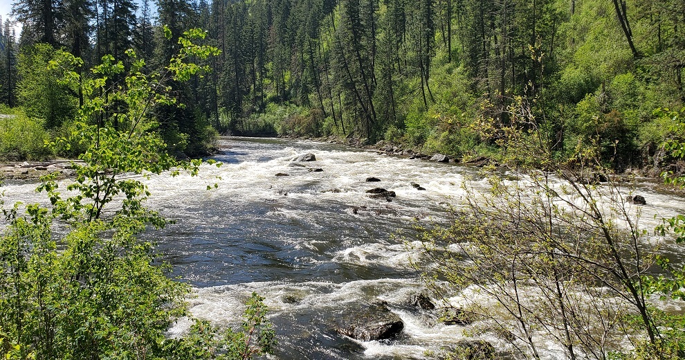
Wound down out of the hills to US Hwy 12 and headed east up the Clearwater River. Great river, great road. Turned off at Orofino to go find Dworshak Dam on the North Fork of the Clearwater River. Dworshak is a concrete gravity dam and is the 3rd tallest in the United States at 717 feet. Primarily used for power generation, flood control and recreation.


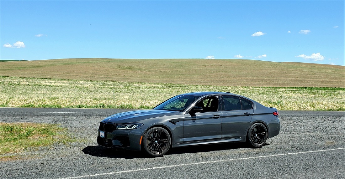
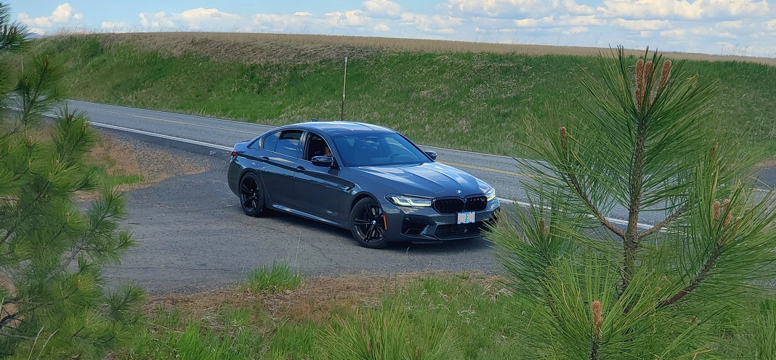
The A/C had been unfuctional all day and driving with the windows down at 65 mph gets very annoying. Stopped and called my local BMW dealer for an appointment for when I get back. 20 minutes later, while fiddling with the A/C menu, I selected the Rear A/C control and voila - cool air came back. However, it would still have a mind of its own. It would get cold. Then cool, then warm, then cool. No consistency. Didn't matter if the Auto was on or off.
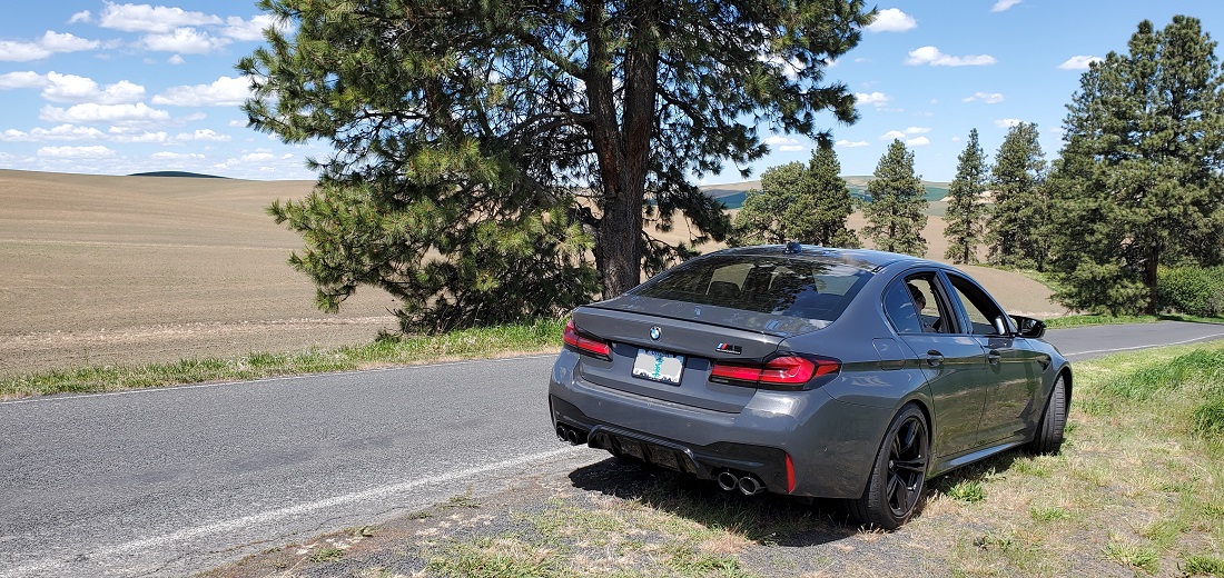
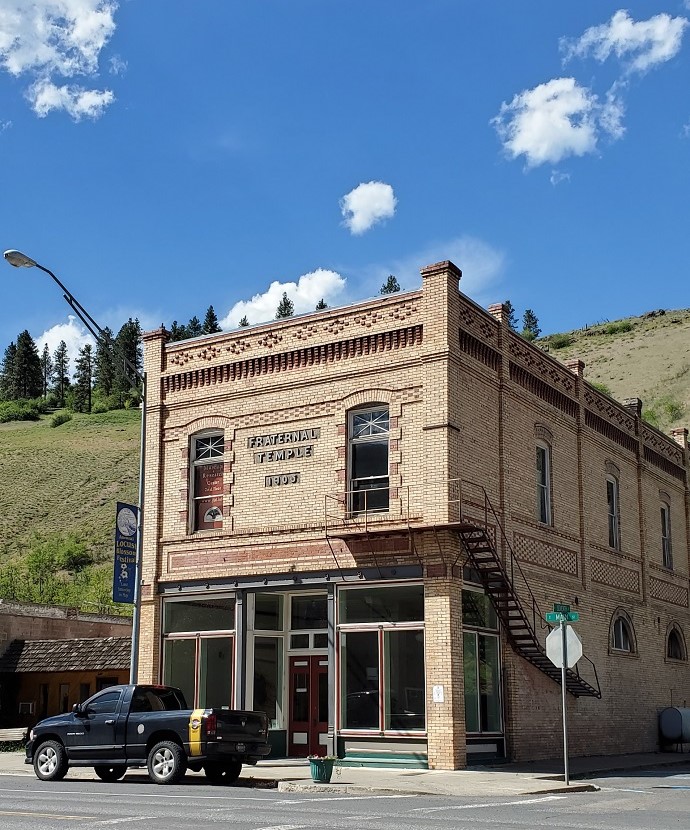
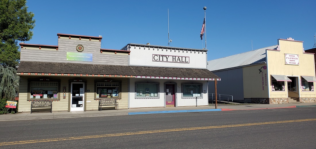
Orofino to Grangeville took us back up to a high agricultural plain again. Spectacular rolling hills of color. Kamiah is a small town along the way, just off Hwy 12, with an appropriate City Hall
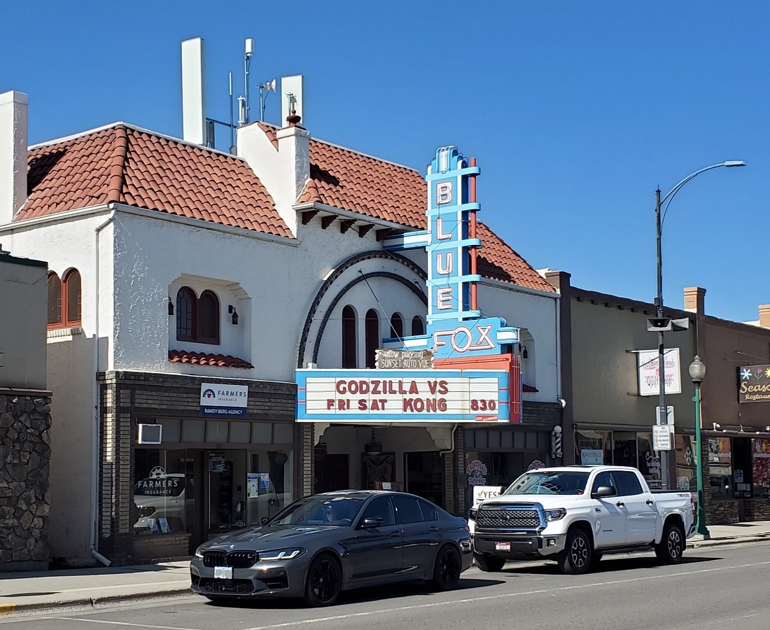
Another old theater in Grangeville
 [SIZE="3"]Day 5 - Grangeville, ID to McCall, ID (215 miles)[/SIZE]

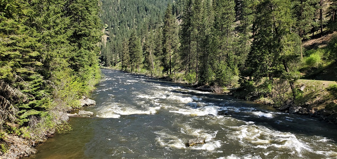
I don't particularly like to retrace any mileage, but I had read that the road to Elk City from Grangeville was quite nice. However, it is out and back. Hwy 14 follows right next to the South Fork of the Clearwater River for 50 miles to almost nowhere. Elk City is a tiny hamlet of about 200 in a pretty little valley high in the foothills. Gold brought settlers here in the 1860s. There is no wealth there now. It's not at the end of the world, but you can just about see it from there.
The river is spectacular. The grade is steep, the water is rushing and you could run rapids the entire time for about 35 miles.


Elk City
Backtracking - like driving a different road. No worries.

Managed to catch a couple kayakers having fun. I don't kayak, but this is where I would come.

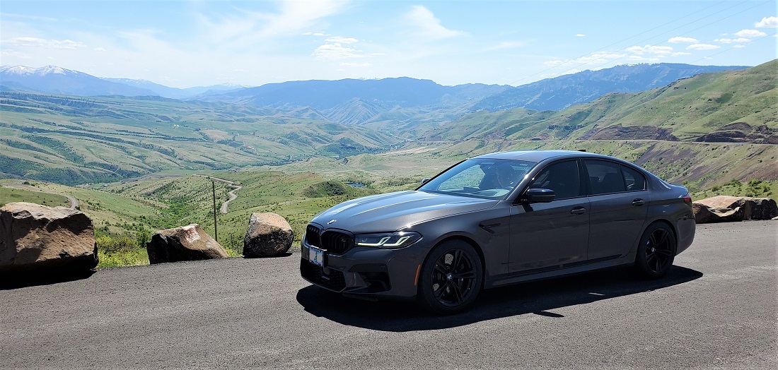
Returned to Grangeville for lunch, then jumped back on US 95 and headed 95 miles south toward McCall. Coming out of Grangeville on Hwy 95 you leave the high plateau and begin decending down several thousand feet to reach the valley floor and the Salmon River. The whole region opens up at a couple of knock-your-socks-off viewpoints. The photos don't really capture the granduer.


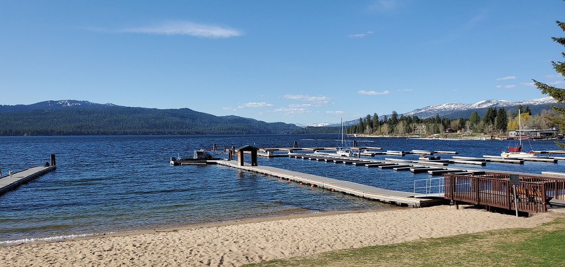
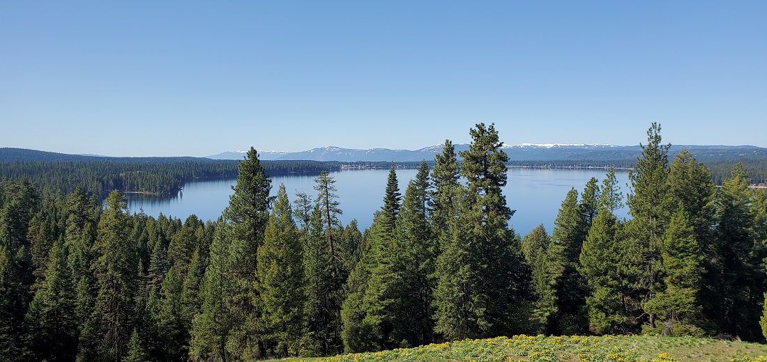
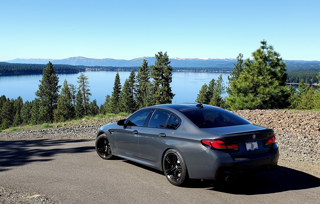
McCall is a resort town on the south shore of Payette Lake and is surrounded by lake homes. With a ski resort nearby it is a very popular year-round destination for the Boise/Nampa crowd - only 110 miles to the south. Homes on the south shore go for $3M.
Waiting for the summer to start. Not too many ski boats yet.
 [SIZE="3"]Day 6 - McCall to Ontario, OR (310 miles)[/SIZE]

McCall is located at over 5,000 feet. They had snow flurries the week before we arrived. I was wondering if I was going to miss my snow tires. The morning started cold, but sunny, and we drove to Ponderosa State Park, just north on the edge of town. Very large park with beaches, hiking, biking and camping.
Small backtrack west on Hwy 55 and you catch Hwy 95 south again at New Meadows. A very pleasant drive thru forests and then farming brings you to Cambridge after 45 miles.
West on Hwy 71 at Cambridge takes you up into the hills before decending to Brownlee Reservoir on the Snake River.
Brownlee Reservoir is immense. You quickly realize that the wild Snake River does not run free here.
The dam is rock and earthfill with a concrete spillway.
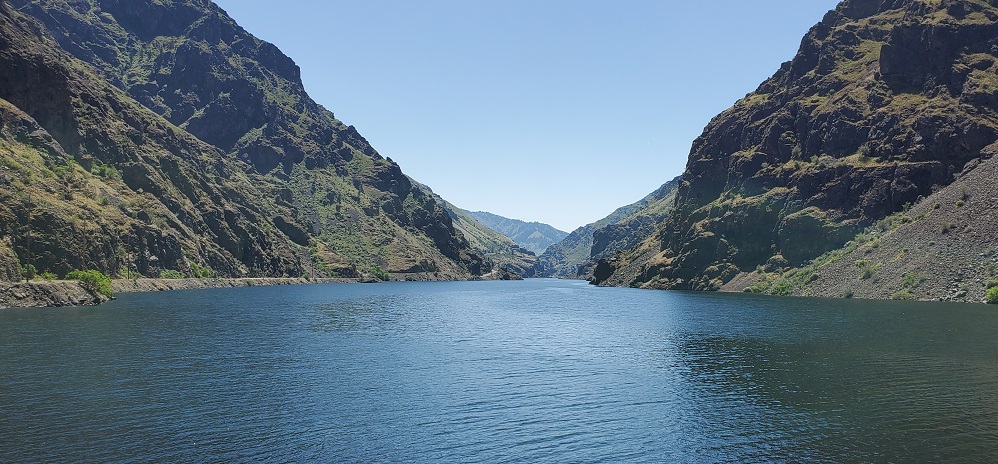
There are 3 dams in this area. Furthest downriver is Hells Canyon Dam, whose reservoir backs up 23 miles to Oxbow Dam, whose reservoir backs up 13 miles to Brownlee Dam, which has a reservoir that extends another 60 miles upriver.
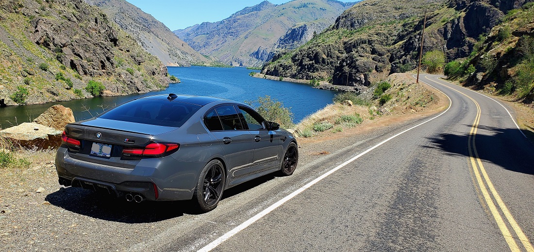
Crossing the river below Brownlee brings you into Oregon. The Snake is the state dividing line. Oxbow reservoir:

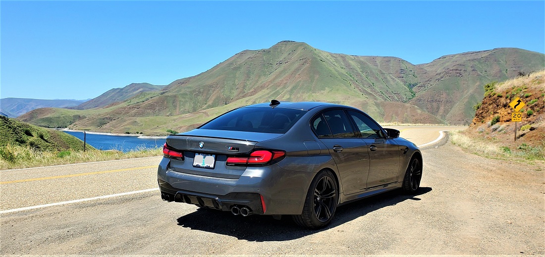
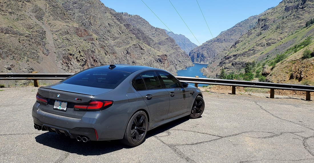
A few miles further brings you to the small community of Oxbow and Oxbow Dam. Crossing the river again puts you back in Idaho and the Forest Service road hugs the east bank of the Hells Canyon Dam Reservoir. Its 23 miles to the end of the road.
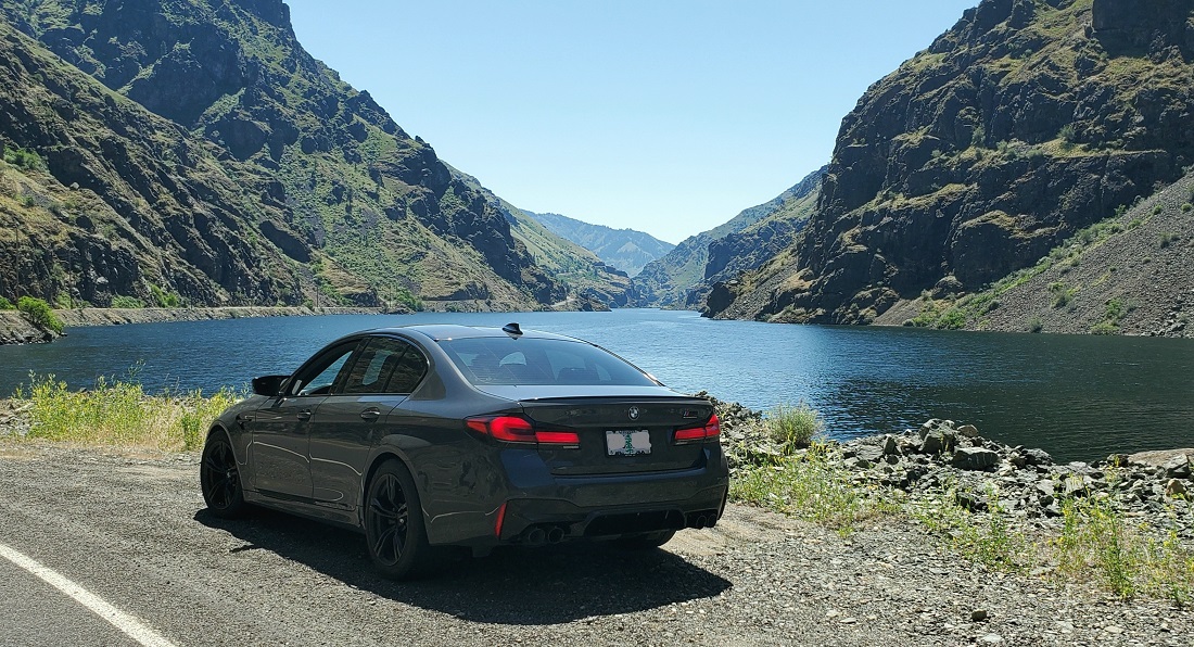
The canyon thru here sits about 2,000 feet below the rim of rocky, grassy slopes. The canyon begins to dramatically change after about 10 miles and the slopes become steeper, higher and rockier. The road rises from the river bed about 300 feet to a spectacular view point where you can see several miles in each direction. Then drops back down to the river.

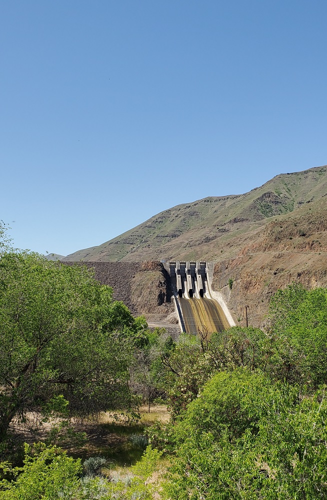
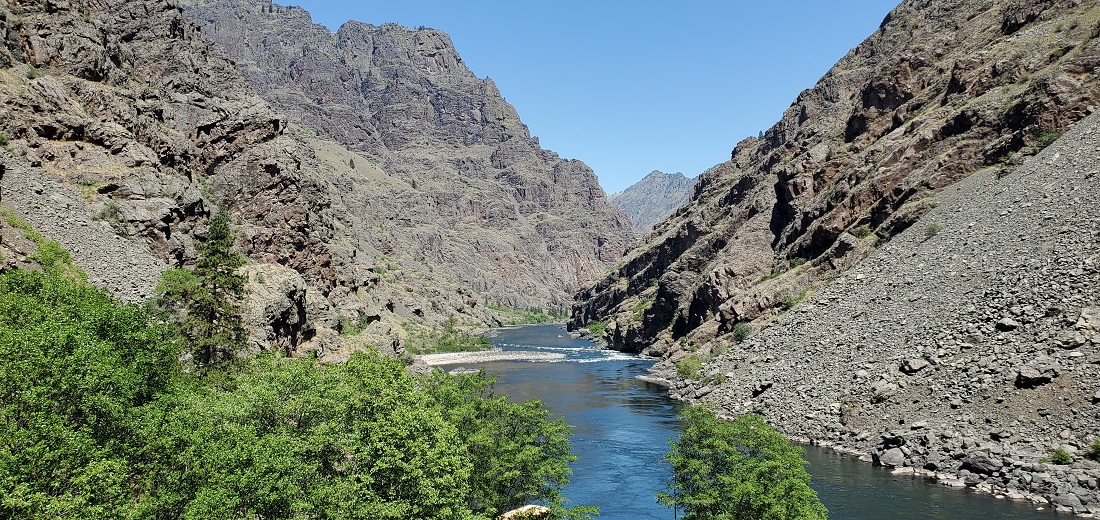
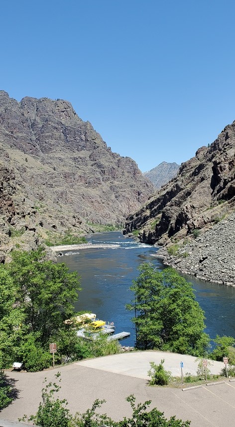
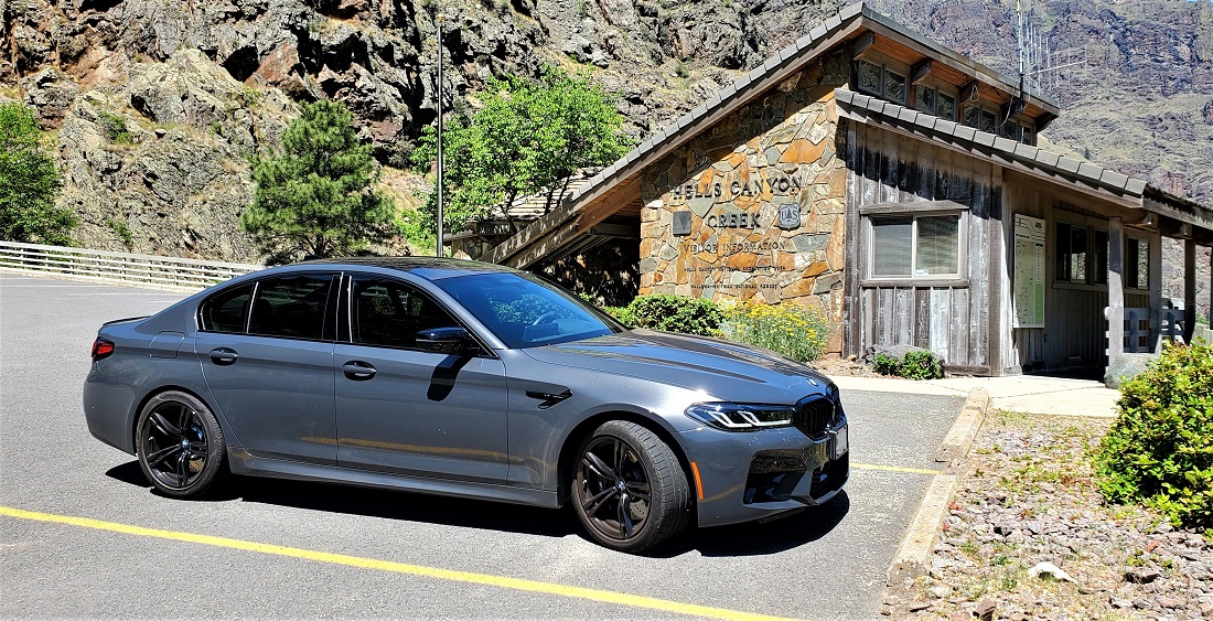
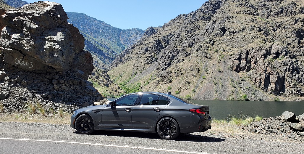
Cross over Hells Canyon Dam at mile 23 and return to Oregon. A quarter mile further brings you to the end of the road where there is a Visitor Center and Boat Launch. The river goes back to it's natural setting below the dam and the canyon rim can exceed 7,000 feet. The Snake runs free from here to the confluence with the Clearwater River at Lewiston, ID, 75 miles away. This is the launch point for several multi-day raft trips taking you down river and thru the most remote parts of Hells Canyon.
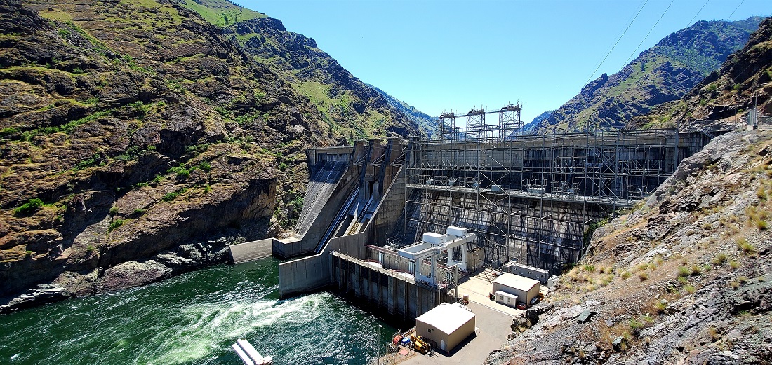
Looking downstream from the dam - the Snake runs free.
Visitor Center
Back at Oxbow 23 miles later, we had to decide on another backtrack: Go back 40 miles up the very windy road to Cambridge and down US 95 to Ontario or take OR 86 to Baker City and then 70 miles down I-84 to Ontario. That 70 miles on the freeway would have be backtracked the following day. We chose OR 86 and it turned out to be a spectacular road with fabulous scenery. It meant to doing I-84 twice between Baker City and Ontario, but that's a nice stretch anyway. No regrets.
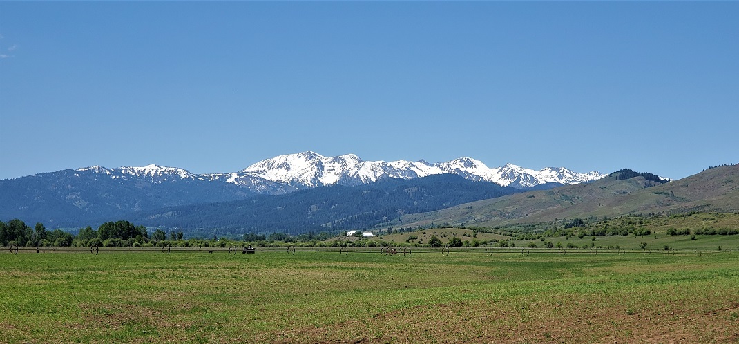
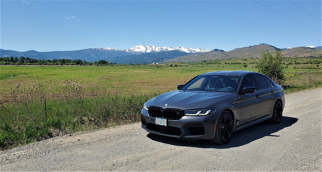
Near Halfway, OR looking at the Wallowas.
So. Many. Bugs.
Went to our favorite wing joint in Ontario that we discovered 4 years ago and got the bugs washed off the car. (Again. 4th Car wash))
(Days 7 & 8 continue on next post.)