Scenic byways, small towns, a bunch of rivers, a ton of dams and wheat........lots and lots of wheat.
 ** Warning - Picture Heavy Thread **
Because of the picture quantity and bimmerpost photo limitations, this thread will be spread over 3 consecutive posts. First post is Days 1 -3, Second post is Days 4-6 and Third post is Days 7-8.
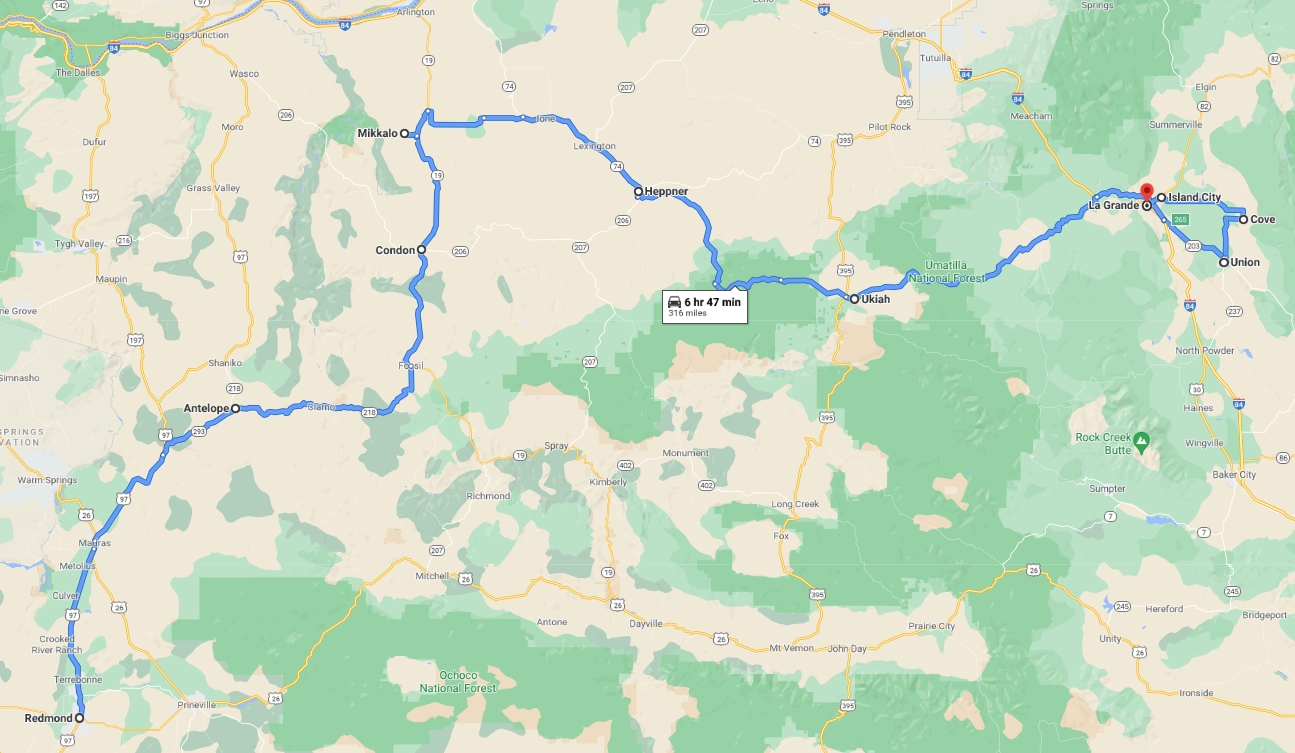
Overall Map

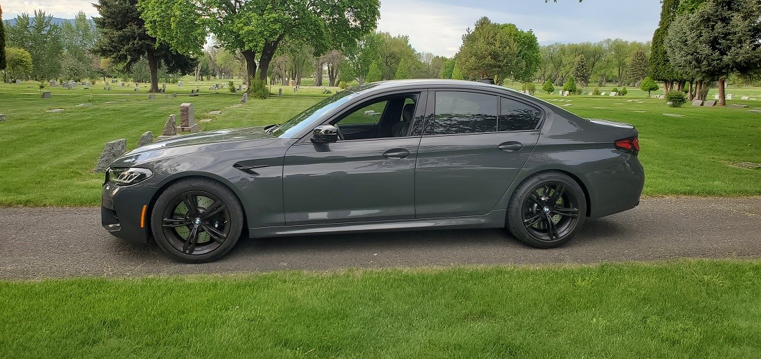
It was time to get back on the road again. Been stuck in Portland since Sep 2019. Not much travel in 2020 except day trips around Oregon during Covid. But we were fully vaxxed by the end of March and were raring to go. I swapped my 2019 Donington M5, that we took to Utah, (See post here:
https://f90.bimmerpost.com/forums/sh....php?t=1784425) for a 2021 Brands Hatch M5 Comp just before Christmas 2020 and after 6,000 miles it was broken in and ready to get on the road. The only problem in 6 months was an A/C that seemed to have a mind of its own - got the compressor swapped out just before we left, so hopefully there will be plenty of cool air. Alas, it was still acting a bit goofy when we left.
I hadn't been through much of NE Oregon in decades, SE Washington a bit more recently and little of the corresponding Idaho part.
bwhip inspired me with his M2 photo threads of his trips around the Wallowa Lake region - so I mapped out a 2,000 mile loop to get that done. No National Parks were on the route, but my goal was to see the Palouse area of SE Washington and Hell's Canyon on the border of Oregon and Idaho. We would also travel many roads in Oregon, that we rarely drive on, just to get there and back. (There and Back - that sounds a bit Hobbity)
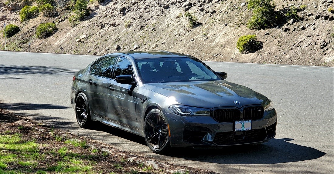
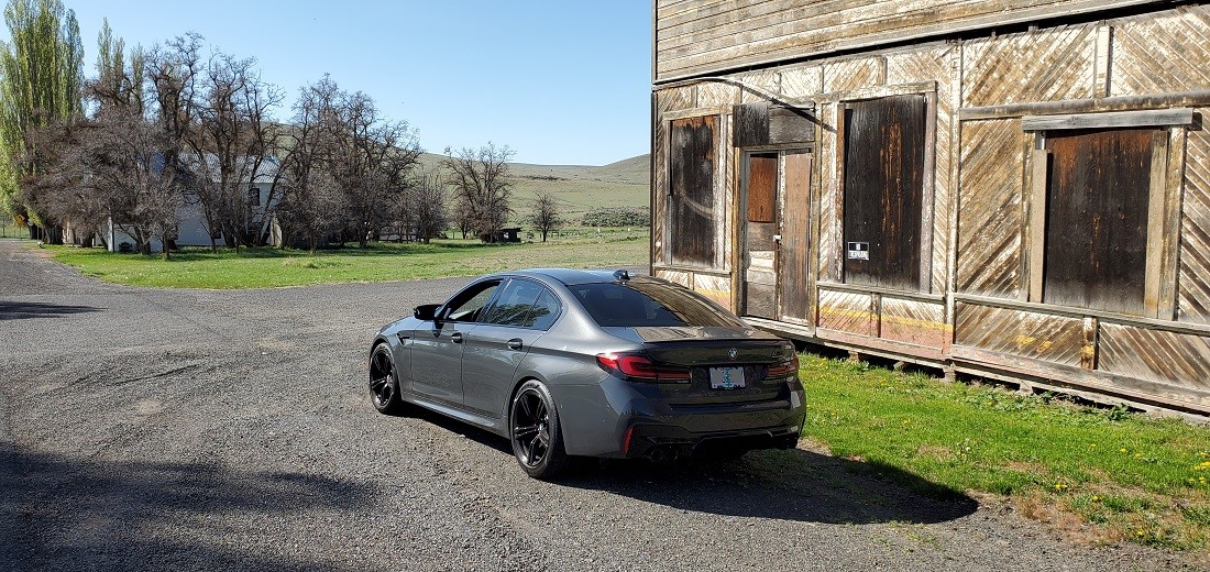
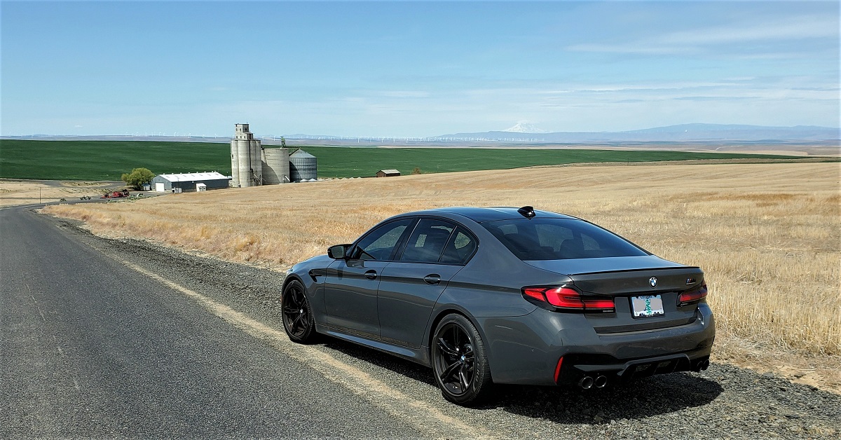
There are twice as many pictures as the Utah trip - with less mileage and arguably less spectacular scenery. But, still, great scenery nonetheless. And a lot more car pictures. There was a recent thread asking to see Brands Hatch Grey. Well,
TheBlackKnight , here ya go.
The trip turned out to be a total of 2,057 miles - yet the furthest I ever got from home was only 468 miles. This sure seemed like small potatoes after recently reading the monster threads by @white2abbit and @Wild Blue, but still fun to put together.
The car performed flawlessly (except for the A/C) and we averaged 24 MPG. Only 240 were freeway miles. Most days we were on the road at 9 AM and usually reached the final destination by 5 PM. Then, of course, dinner and some local drive around exploring. I always looked forward to the start of the next day. We call it "New Territory."
Day1 - Portland to Redmond (190 Miles)
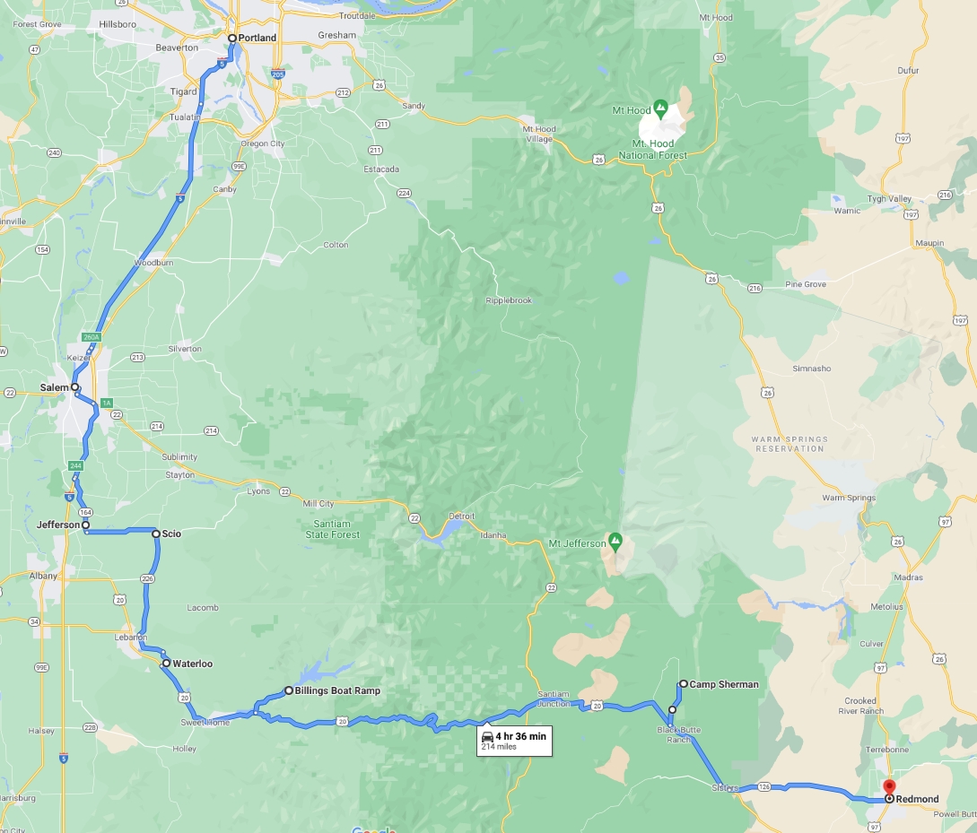
An uneventful drive took us to Salem to drop the dog off. Then we got off I-5 and meandered thru small towns of Jefferson, Scio, Waterloo and Sweet Home in the Willamette Valley to catch Hwy 20 east over the Cascade Mountains. Spring has marvelously hit Oregon.
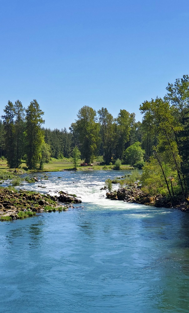
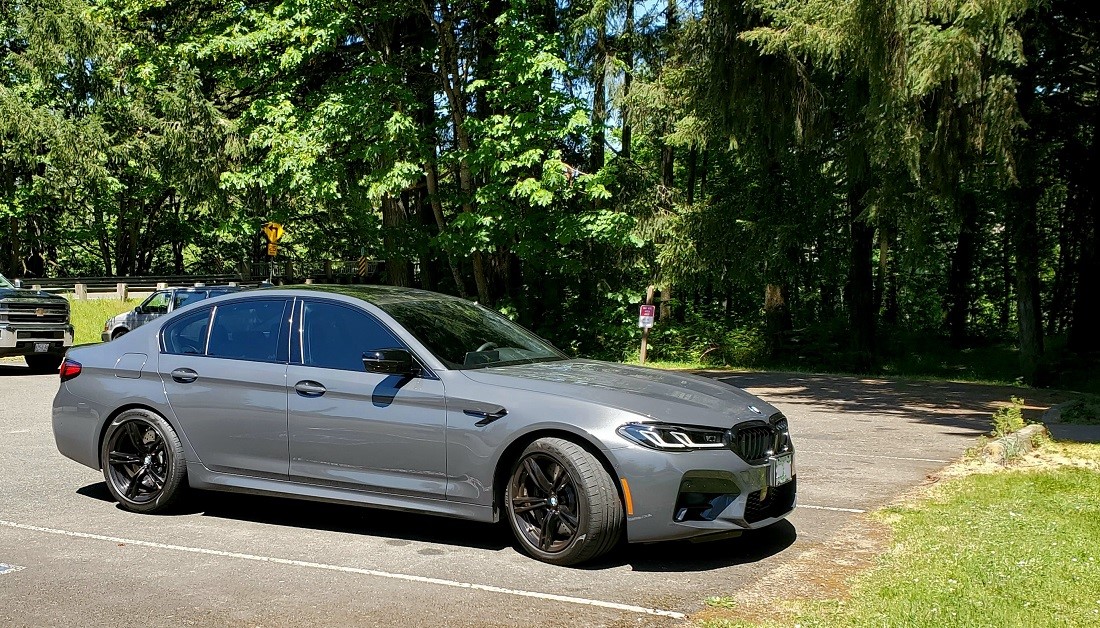
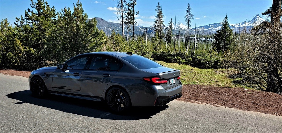
Stopped on the South Santiam River near Waterloo for a pic of the river and car.
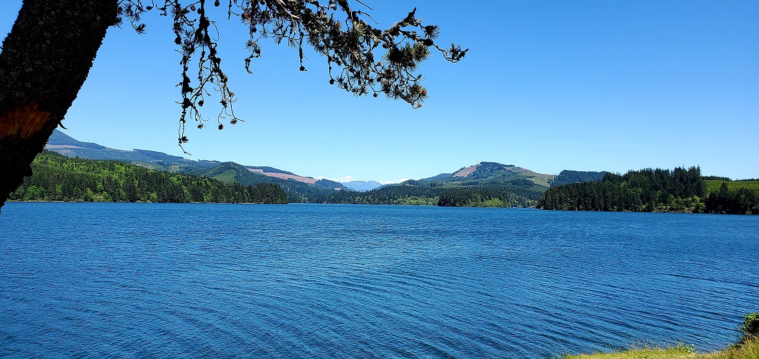
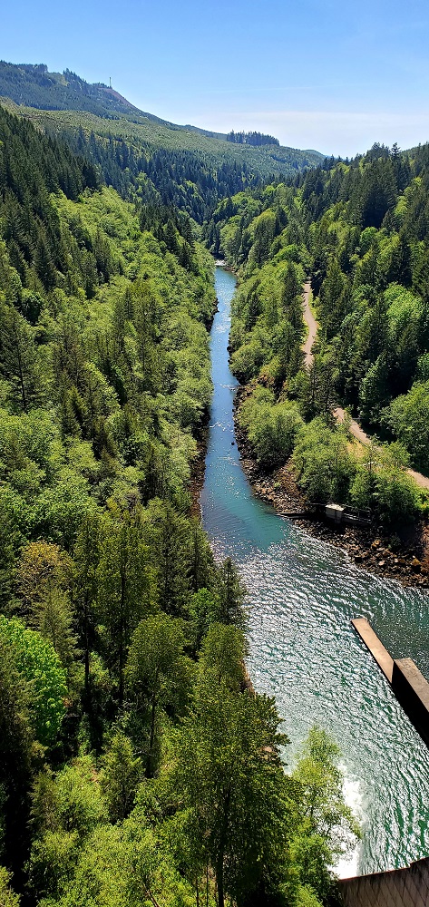
Beyond Sweet Home are 2 dams: Foster and Green Peter. Foster Reservoir:
Green Peter is 327 feet high and 1500 feet long. View from Green Peter

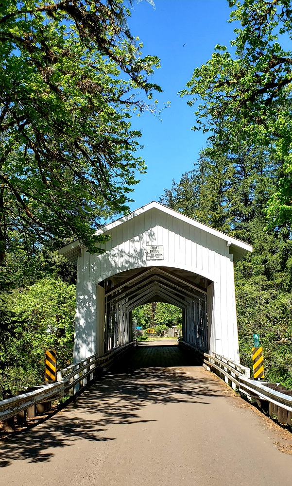
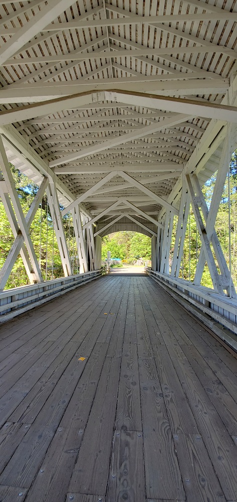
Oregon has many covered bridges from back in the day. This one is Short Bridge - built 1945. You can map out a tour and spend a whole day (we have) just touring covered bridges between Salem and Eugene.
Short Bridge

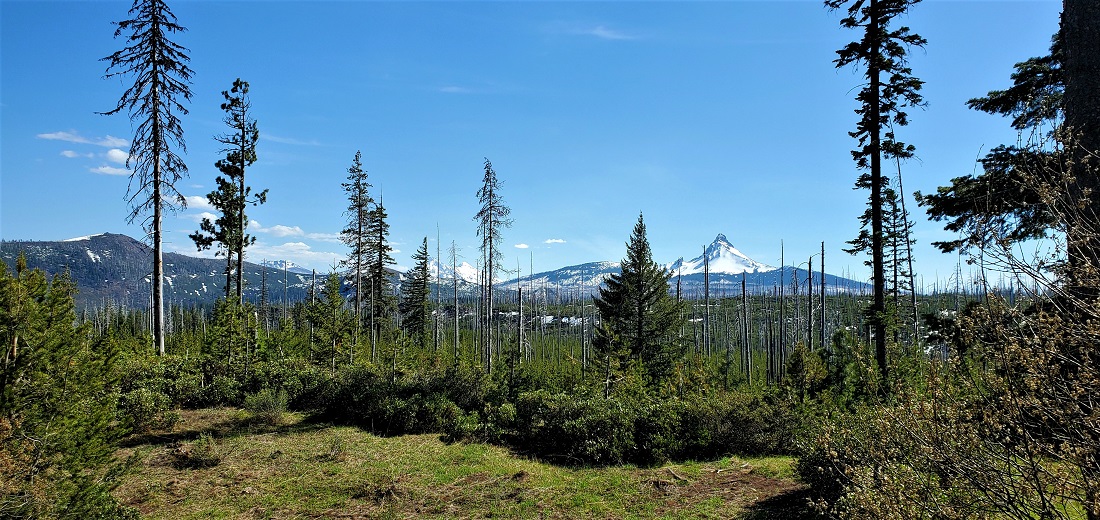
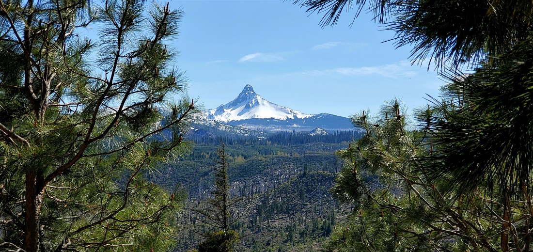
Hwy 20 winds up into the Cascade foothills. Lots of Douglas Fir, fewer cars. Eventually the road ties in to Hwy 22 coming from Salem to Central Oregon and you crest the Santiam Pass at 5,000 feet or so. Mt. Washington quickly comes into view to the south. Just spectacular.
Mt Washington
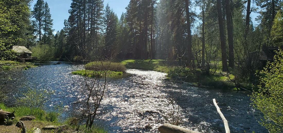
Back down on the valley floor, and about 5 miles north of Hwy 22, lies the delightful little hamlet of Camp Sherman. A few homes, small resorts, camping and fishing will let you forget about the outside world. The Metolius River is literally born free flowing from a spring nearby and comes thru camp past a very quaint country store.
Metolious River
Store

A short stretch back on 22 takes us thru Sisters, then to Redmond for the first stop.
Day 2 - Redmond to La Grande (325 miles)
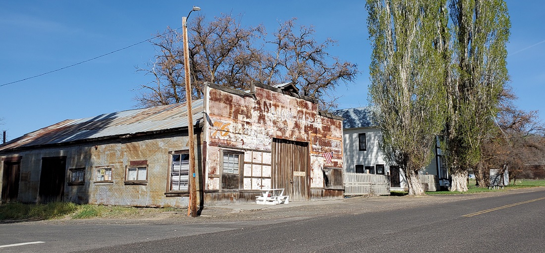
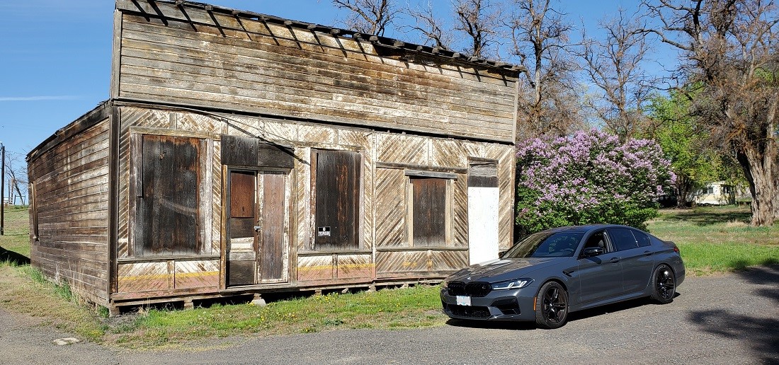
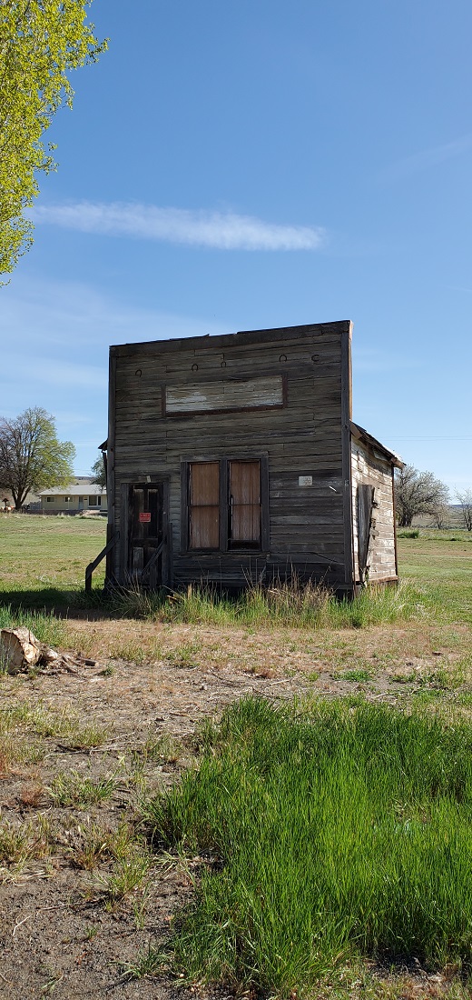
The road from Redmond passes thru the farming community of Madras and then heads up to a higher desert. Passed thru Antelope on the way to Condon. Antelope is kinda starting to look like a ghost town. Population: less than 50.
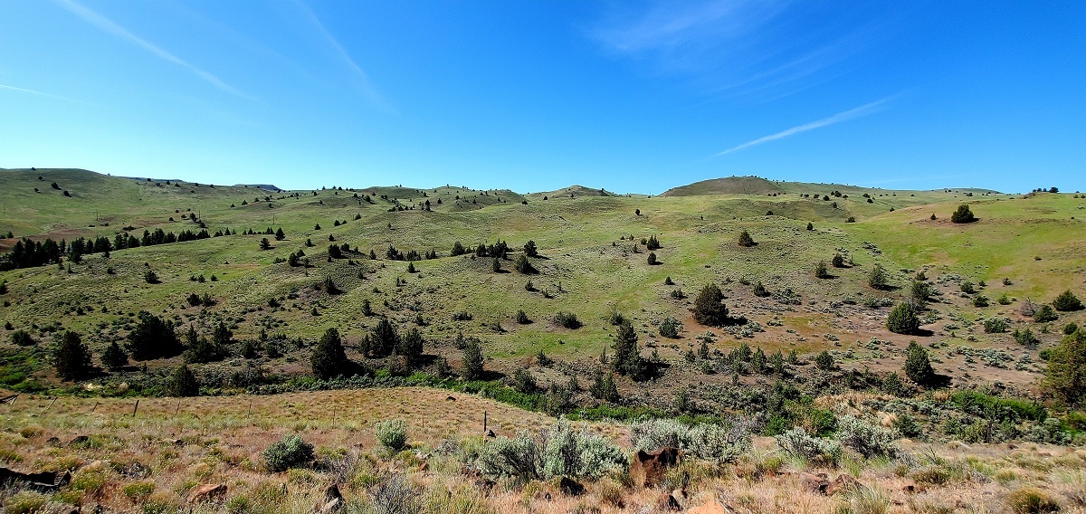
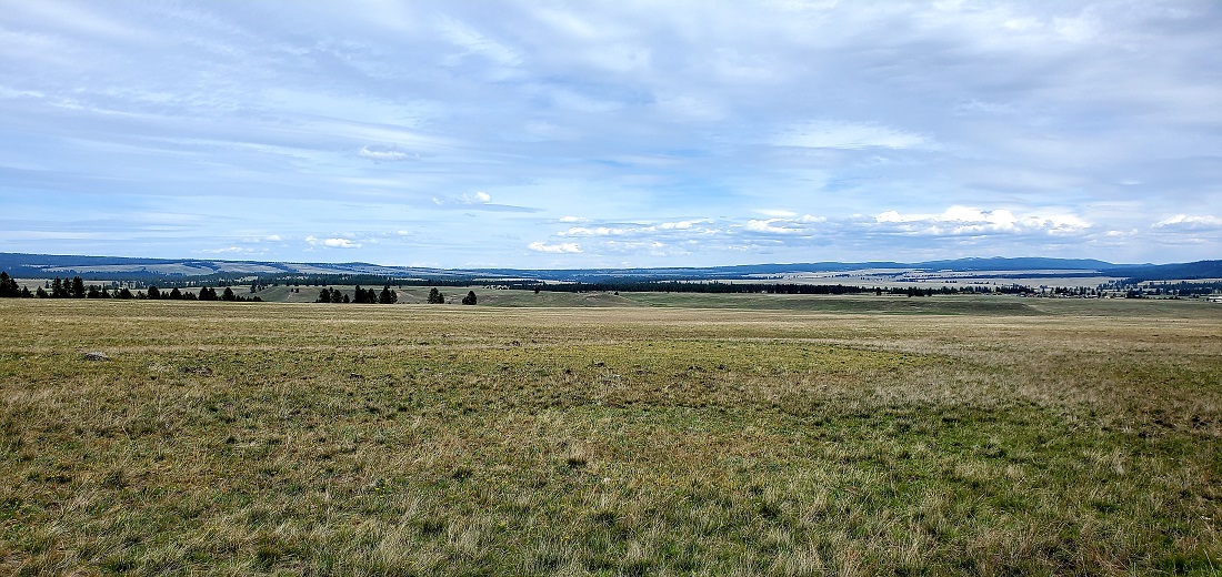
You then climb up into rolling hills thru ranch country. Very colorful greens this time of year. In 4 months the only color will be brown.
Next, we headed toward Condon, Oregon - Farming country. Haven't been thru here in decades. My only memory as a kid is driving along, coming in to Condon from the east, and my dad pulls over suddenly. We seemed to be losing gas at a furious rate. He crawled under the car and discovered a hole in the gas tank. He grabbed some sticks and leaves and hammered them into the hole. We limped in to town (maybe 10 miles) on fumes. It was about 6 o'clock on a Saturday night. Back then, the gas stations actually worked on your cars (instead of only selling sodas and Ding Dongs now). We went and had dinner across the street and came back an hour later with a plugged hole and full tank of gas.
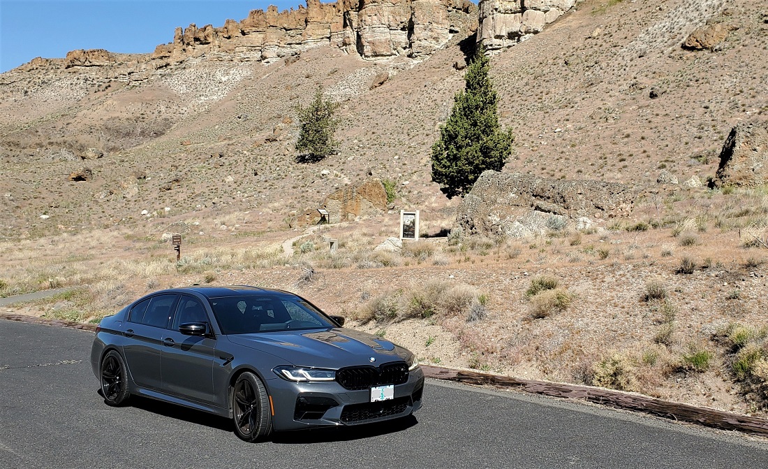
Stopped for a few pictures at the John Day National Fossil Beds Monument. For a minute there, we thought we were back in Utah.

Since we travel mostly on back roads, its always fun to get to a new small town and look for Main Street.
Here is Fossil's. Population: under 400.

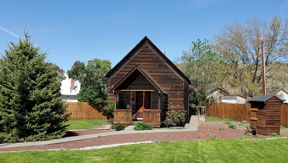
Old school house
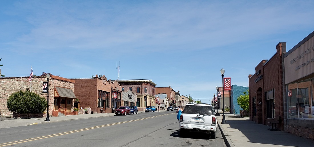
Condon seems like a fair size town, but its probably less than 700 people. Main Street:


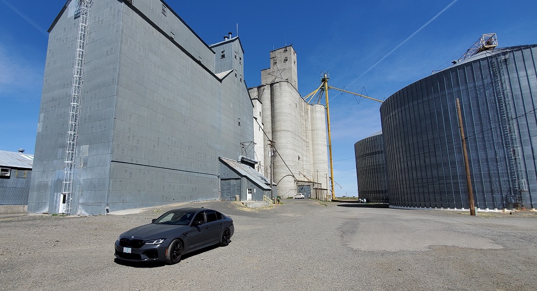
Farmers store their harvested grain here - these are really, really big grain elevators.
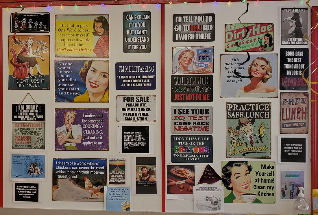
Found a great burger joint for lunch in Condon.

Had funny sayings on the walls
I also wanted to come thru here to see a farm that a friend of mine inherited thru his wife's family years ago. It's never the same hearing about something without actually having seen it. He has 1,600 acres and a tenent farmer plants 800 acres of wheat a year.
This might be my favorite shot of the trip. Mt. Adams in the background. Near Mikkalo
My friend's farm is left of the road


Lot of wind farming up here, too.


Turned east and headed to Heppner, then southeast and up Willow Creek Road, a Forest Service road into the mountains toward Ukiah.
Heppner Courthouse

Forest Service Road 53 is kind of a lonely stretch - the road had a lot of winter detritus and not much in the way of paint markings.
Then down into a grand valley and the town of Ukiah.

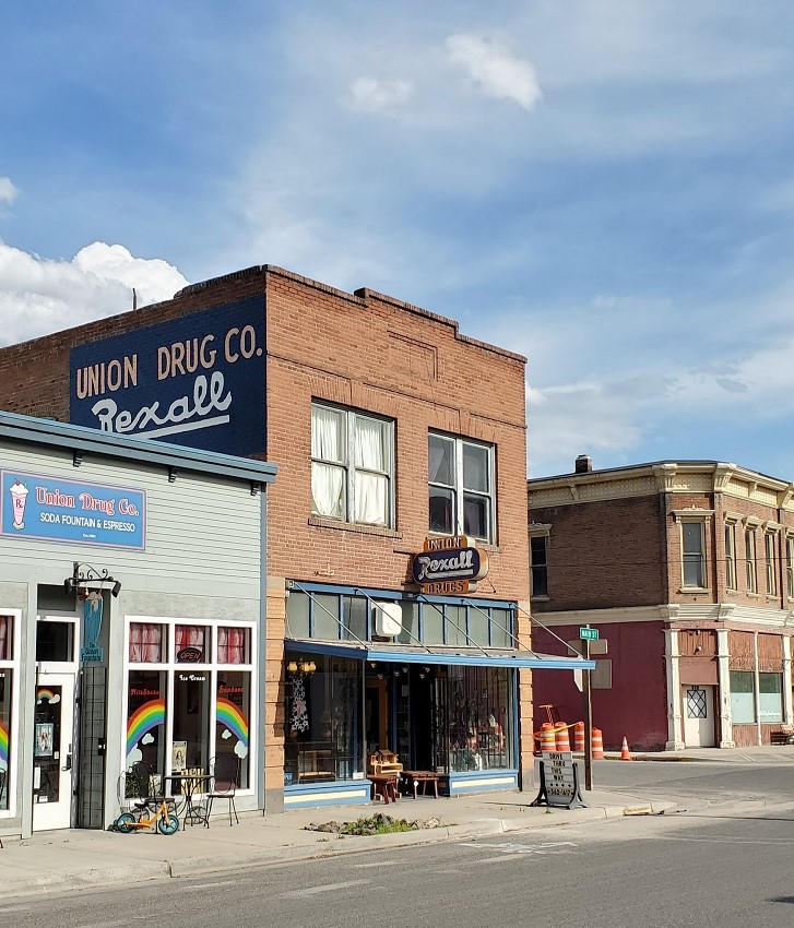
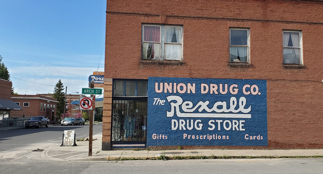
Followed Oregon 224 east from Ukiah through a spectacular stretch of the Blue Mountains. Got on I-84 for a couple miles and pulled into La Grande. Checked in to our hotel that had the water main dug up, so no water. At least not for a few hours. Hopped back in the car and went down to Union, OR. This is a quaint little town and we had giant meatloaf sandwiches at the counter in the Rexall Drug store. Takes ya back - waaay back. Really cool.


My wife's father was born in La Grande and we found the house he lived in with his mother and grandmother when he was a baby. Humble beginnings.
The house was built in 1920.

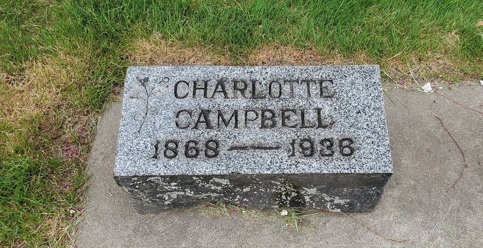
There is a cemetery nearby in Island City and we went looking for graves - we knew his grandmother and uncles were there. Found the cemetery, but couldn't figure out the grave locations. Stopped the car, thought about how to logically identify the lots and various additions of the cemetery. Looked out the window and there she was - my wife's great grandmother, and a couple of her boys, right next to the car.
 Day 3 - La Grande, OR to Lewiston, ID (230 miles)

Car was quite filthy, so 16 quarters got it clean again before heading out. Damn bugs.
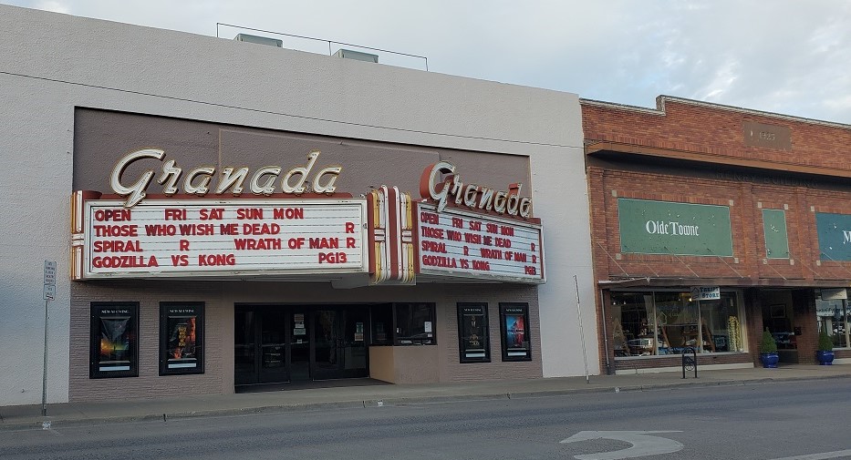
La Grande has a nice retro feeling Main Street
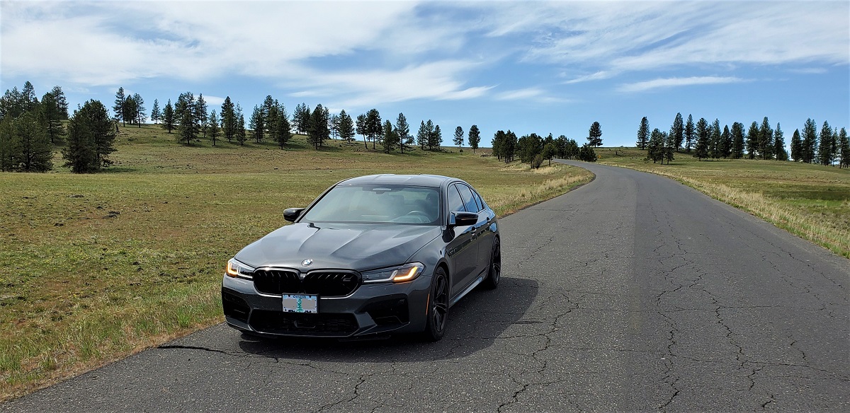
Meandered out of La Grande on Hwy 3 and headed up into the hills toward the Wallowa Mountains. Lots of rolling range land, a couple of small towns.
Elgin City Hall

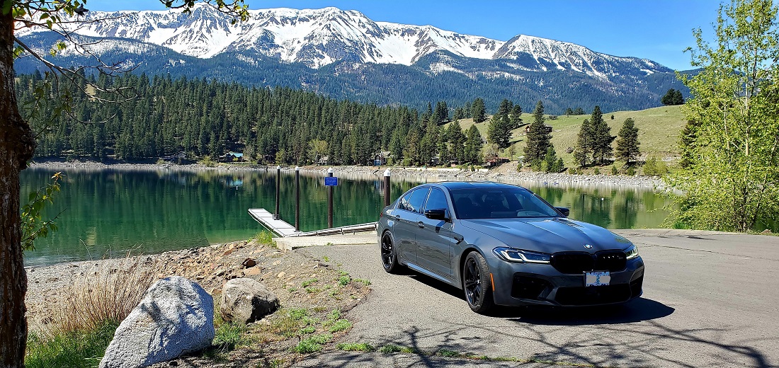
Just out of Enterprise, the Wallowa Mountains come into full view.

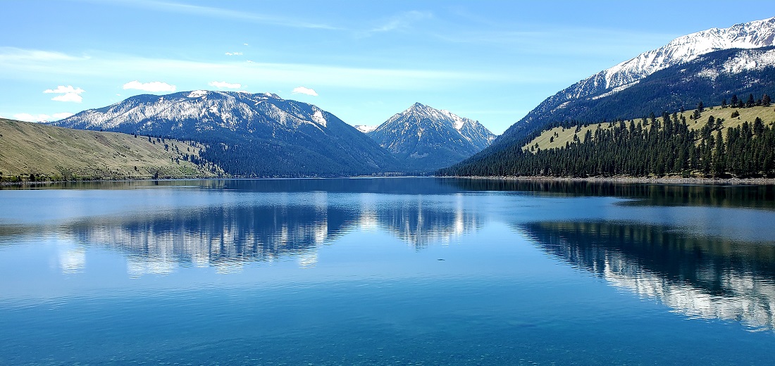
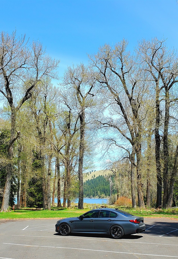
Then, all of a sudden, there's Wallowa Lake. Just wow.
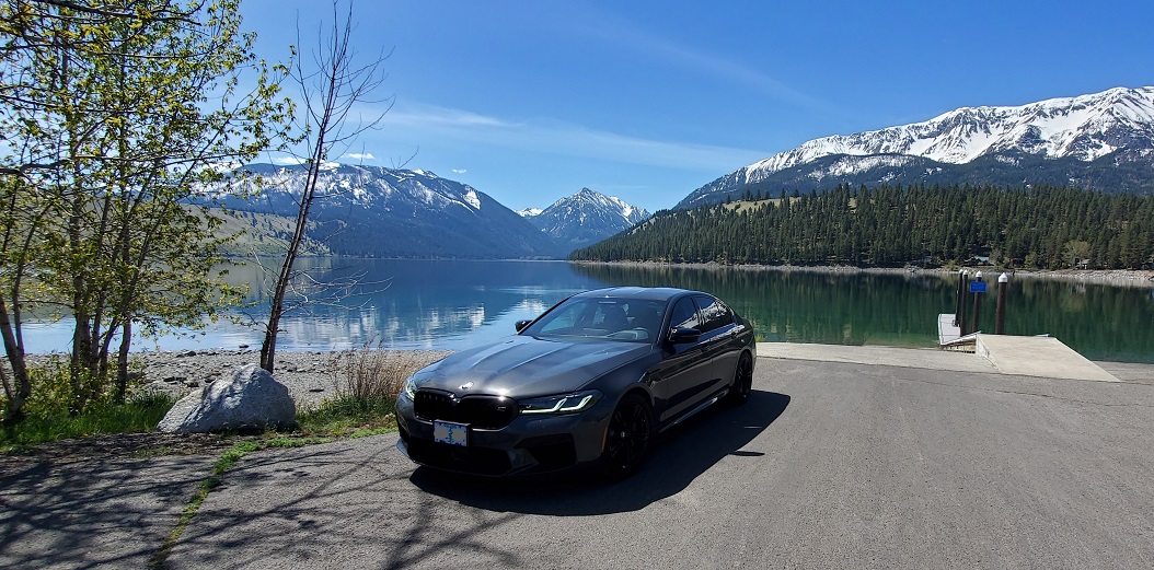

On the North Shore


Found the lunch spot
North Shore
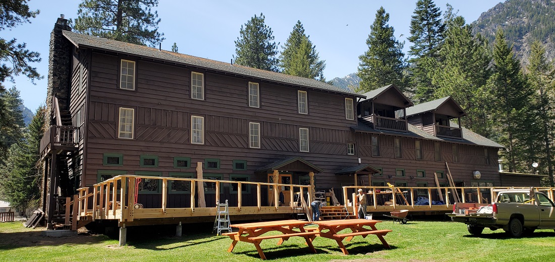
It was still early, so we continued on to the south end of the lake. Wallowa Lake Lodge was just getting ready to open for the season. They were putting on a new deck. I thought I had stayed there just a few years ago. It was 2006. Where did THAT 15 years go?? Nice and Cozy.
Wallowa Lake Lodge

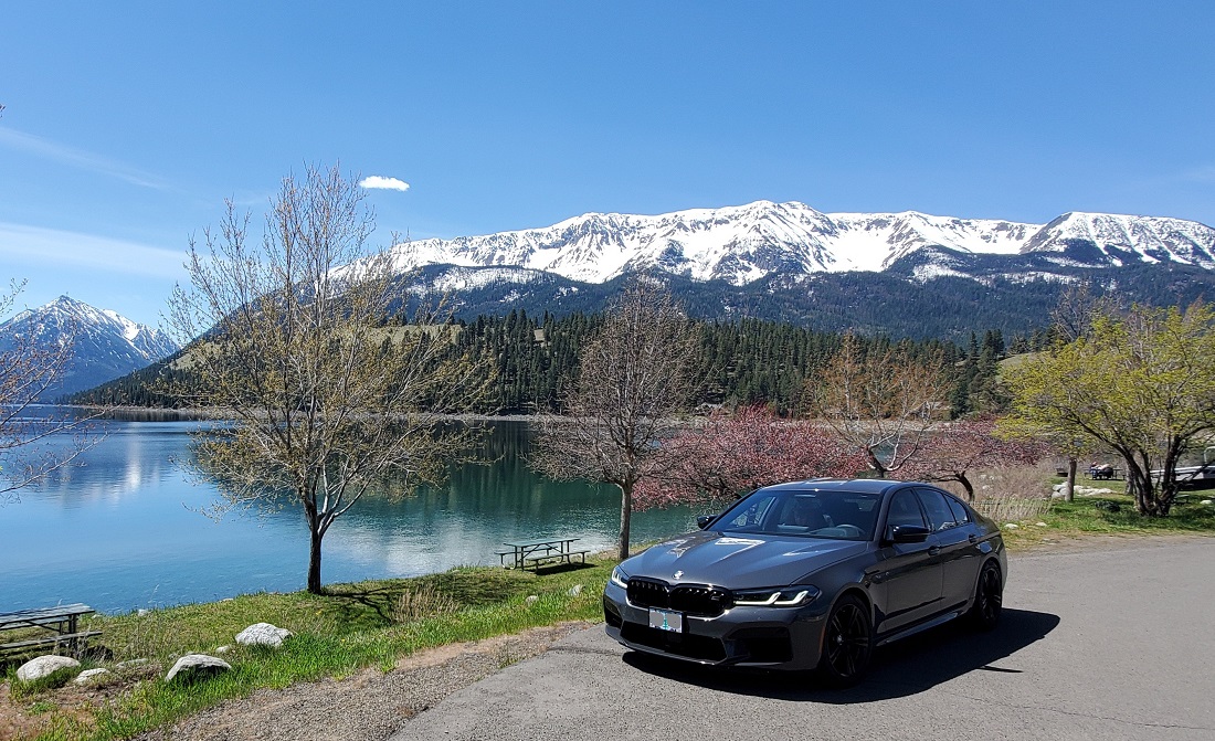
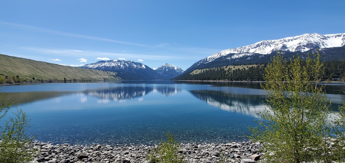
The view looking north is very different from the other end looking south.
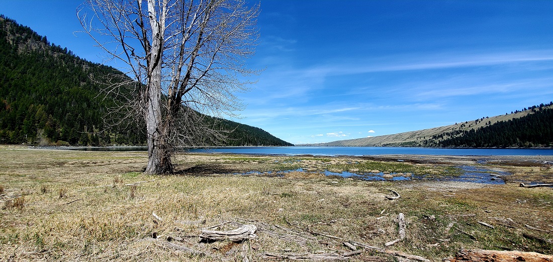
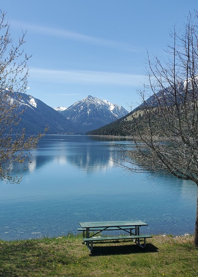
The state park next door was very nice, so we changed plans, drove back to Joseph, got lunch, and came back to a picnic table by a stream flowing into the south end of the lake. Not a soul around.

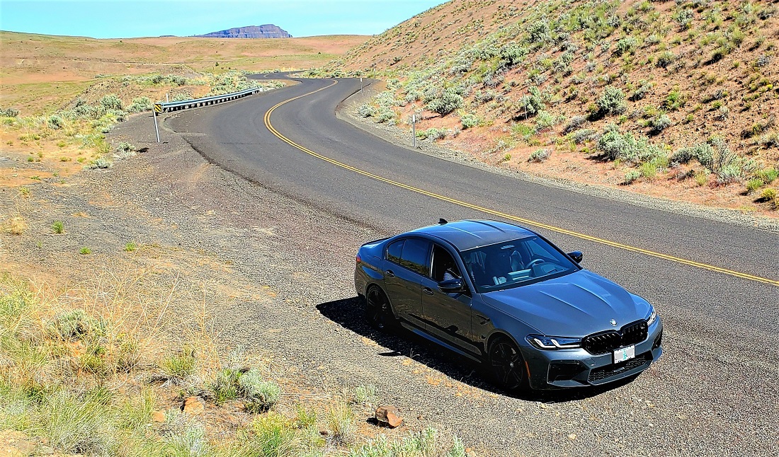
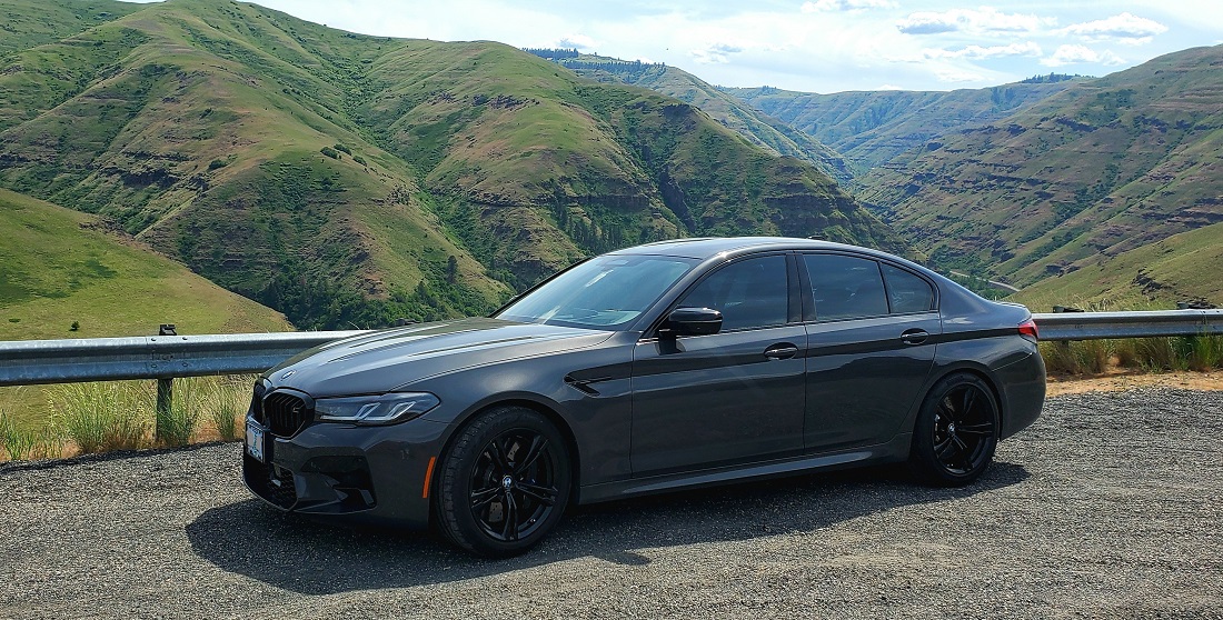
Then back to Enterprise and north on Hwy 3 toward Washington on rather thrilling roads. Hells Canyon Look Out:

A little further on, the road loses about 3,000 feet and not much in the way of guard rails. Some passengers may have felt uncomfortable.
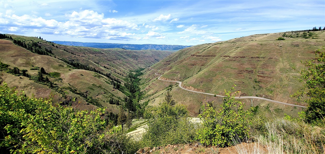
Then you cross the Grande Ronde River and take a steep, very windy road, to gain it back.
The view at the top is quite amazing.


Came out of the woods eventually and passed over a high plains farming region and then lost all the elevation again to get back to the Snake River at Lewiston. Found out I'd booked the wrong hotel, wanted the one next door. Cancelling at check-in usually results in a one night fee, but got it worked out and went to the new place. Much nicer.
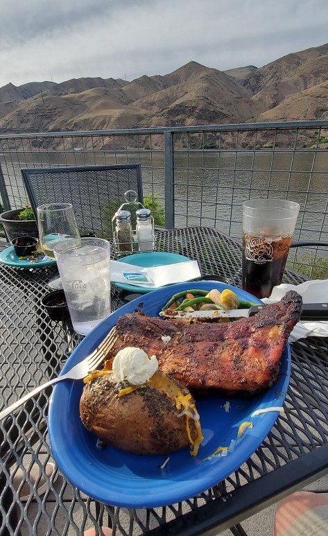
Found a great place to eat on the water in Clarkston, WA across the Snake from Lewiston. The only obligatory food shot in this thread.
Got back in the car - no A/C all of a sudden. It's 80 degrees out. Shit. Windows down.
The Snake and the Clearwater Rivers meet up at Clarkston/Lewiston and become the Snake. The Clearwater comes out of the divide at Lolo Pass between Idaho and Montana. Hwy 12 east out of Lewiston follows it all the way to just outside Missoula, MT. Truly an amazing drive and highly recommended if you get the chance.
Drove around and found some nice bridge shots. Red Wolf Crossing Bridge on Hwy 128 across the Snake.
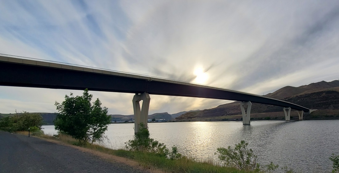
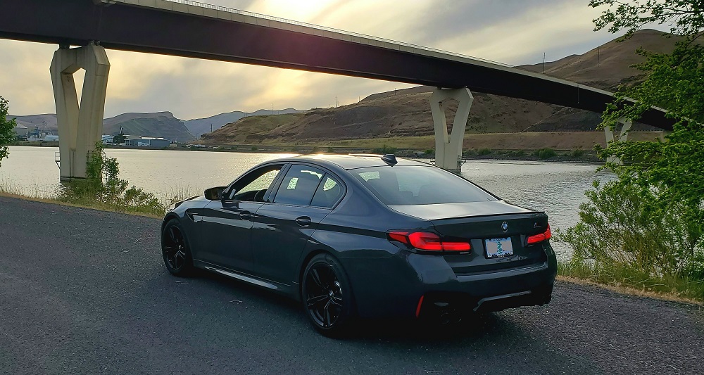
18th Street Bridge on the Clearwater River
 (Days 4-6 continue on next post.)